Shear taking its toll on Invest 95, and models currently show it fading out as rain as it approaches the Florida Straits this weekend.

Invest 95 has only a 10% chance of development over the next five days.
As for wave #2, this one is ramping up and has a 40% chance for development over the next five days. Models now show more development potential as it moves west in the coming days.
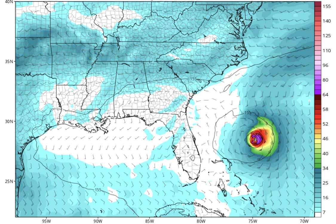
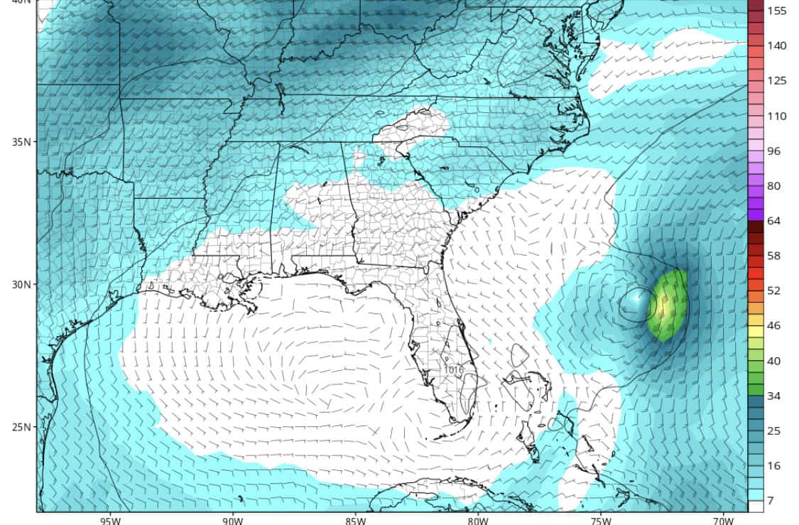
The GFS model is the most aggressive with a possible Category 2 hurricane, while the EURO is less optimistic, keeping it a tropical storm for now. Both models agree on path and timing, moving it west this week and then pulling it more northwest early next week. The path of this wave could be in the hands of the Atlantic high as it approaches the Lesser Antilles.
The stronger the high, the further west it could push. The weaker the high, the more northwest it could pull (which would help steer it back out to sea).
All in all, I think we may have a good chance at seeing “Chantal” by late next week. Lots to watch with this one.
GFS vs EURO showing Day 10 (August 10):

Chad Trosper is the AVP of Catastrophe Claims at Tower Hill Insurance. He has over 19 years of experience in the claims industry and a true passion for weather. Chad graduated from the University of Florida with a degree in Business and Sociology and also holds a master’s certification in Business Process Management from the University of San Francisco. Chad currently resides in Gainesville, Florida, with his wife and three children.
