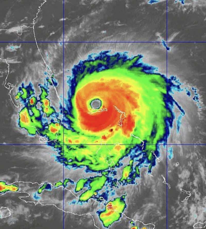
Dorian is heading northwest at 1 mph and sits just northeast of Freeport, Bahamas. Winds are at 120 mph. Dorian is expected to weaken some as it sits over shallower waters near the Bahamas and gets hit by shear.
Models still keep Dorian a major hurricane just off the Florida Coast as it makes its anticipated northwest pull up towards the Florida-Georgia border, then curves along the Carolina coast. Landfall is possible off the tip of North Carolina as a category 1 hurricane.
Steering winds also support a turn today, so it’s just a matter of “When”!!!
Elsewhere in the Tropics, we’re still keeping a close eye on this “low rider” coming off the coast of Africa. This system could make a run westward on us.
[vc_gallery type=”image_grid” images=”11692,11694,11691,11690,11693″][/vc_column][/vc_row][vc_row padding_top=”0px” padding_bottom=”0px”][vc_column fade_animation_offset=”45px” width=”1/1″]Chad Trosper is the AVP of Catastrophe Claims at Tower Hill Insurance. He has over 19 years of experience in the claims industry and a true passion for weather. Chad graduated from the University of Florida with a degree in Business and Sociology and also holds a master’s certification in Business Process Management from the University of San Francisco. Chad currently resides in Gainesville, Florida, with his wife and three children.
